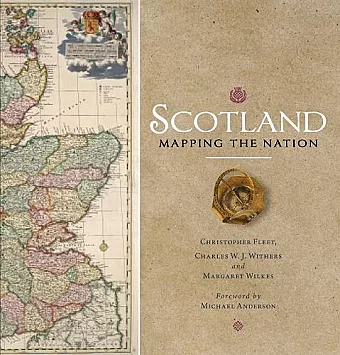
Scotland: Mapping the Nation
Charles W J Withers author Margaret Wilkes author Christopher Fleet author
Format:Hardback
Publisher:Birlinn General
Published:26th Oct '17
£35.00
Available to order, but very limited on stock - if we have issues obtaining a copy, we will let you know.
Winner of the Saltire Society Research Book of the Year
Whilst documents and other written material are obvious resources that help shape our view of the past, maps too can say much about a nation's history. This is the first book to take maps seriously as a form of history, from the earliest representations of Scotland by Ptolemy in the second century AD to the most recent form of Scotland's mapping and geographical representation in GIS, satellite imagery and SATNAV.
Compiled by three experts who have spent their lives working with maps, Scotland: Mapping the Nation offers a fascinating and thought-provoking perspective on Scottish history which is beautifully illustrated with complete facsimiles and details of hundreds of the most significant manuscript and printed maps from the National Library of Scotland and other institutions, including those by Timothy Pont, Joan Blaeu and William Roy, amongst many others.
'mixes lavish illustration with academic rigour and engaging anecdotes'
* Sunday Herald *'much more than a visual treat . . . elegantly written, thoroughly referenced and exsquisitely presented'
* TES, Scotland *'Some books are simply so magnificent in their scope and execution you know they are destined to become classics from the moment you open the cover and begin to turn the pages. "Scotland: Mapping the Nation" is one of those books'
* Undiscovered Scotla- Winner of Saltire Society Research Book of the Year 2012
ISBN: 9781780274836
Dimensions: 255mm x 255mm x 40mm
Weight: 2032g
336 pages