Norfolk Broads
For Everyone with an Interest in Britain’s Canals and Rivers
Nicholson Waterways Guides author
Format:Spiral bound
Publisher:HarperCollins Publishers
Published:3rd Feb '22
Should be back in stock very soon
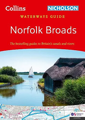
This guide provides essential information for exploring the waterways of the Broads National Park, including maps, amenities, and historical context. The Norfolk Broads is an invaluable resource.
The Norfolk Broads offers an in-depth exploration of Britain's scenic canals and rivers, specifically focusing on the waterways of the Broads National Park. This comprehensive guide is designed for all users of inland waterways, including boaters and nature enthusiasts. It covers the picturesque Norfolk and Suffolk Broads, as well as the Rivers Ant, Bure, Thurne, Wensum, Yare, Chet, and Waveney, ensuring that readers can navigate these beautiful areas with ease.
Featuring detailed Ordnance Survey® maps, the Norfolk Broads highlights essential amenities such as boating facilities, pubs, shops, and restaurants. The guide is packed with navigational notes and historical insights, providing context to the natural beauty and cultural significance of the Broads. Each entry includes postcodes, making it convenient for users to utilize GPS navigation. The maps are designed to a scale of 2 inches = 1 mile, ensuring clarity and precision for all adventurers.
This practical A5 guide boasts a 'lie flat' spiral binding and a 'bookmark' back cover flap for easy reference. The Broads are not only one of Britain's most popular holiday boating destinations but also a vital protected wetland, home to rare flora and fauna. With over 125 miles of lock-free navigable waters, the Norfolk Broads invites readers to embark on a memorable exploration of this enchanting landscape.
"few serious boaters will venture out without a Nicholson's Guide. There is a wealth of information…and the guides are valuable for cyclists and walkers too." The Inland Waterways Association.
ISBN: 9780008490690
Dimensions: 210mm x 148mm x 10mm
Weight: 160g
96 pages