Dartford Street Atlas
Geographers' A-Z Map Company author Geographers' A-Z Map Company editor
Format:Paperback
Publisher:HarperCollins Publishers
Published:19th Nov '14
Should be back in stock very soon
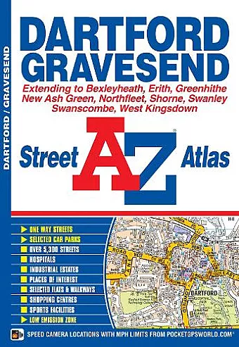
This street atlas of Dartford, Gravesend, Bexleyheath, Erith, Northfleet, Sidcup and Swanley features 30 pages of coloured mapping that extends to:
- Thamesmead East, Crayford, Stone, Greenhithe, Swanscombe, Tilbury (part), Shorne, Singlewell, Meopham Station, New Ash Green, West Kingsdown (part), Farningham, Crockenhill, Hextable, Ruxley, Blackfen and Welling.
Postcode districts, one-way streets and safety camera locations with their maximum speed limit are featured on the mapping.
The index section lists streets, selected flats, walkways and places of interest, junction, place, area and station names, hospitals and hospices covered by this atlas.
ISBN: 9781843486107
Dimensions: unknown
Weight: unknown
64 pages
7th edition