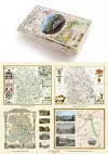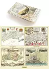
A Shropshire 1611 – 1836 – Fold Up Map that features a collection of Four Historic Maps, John Speed’s County Map 1611, Johan Blaeu’s County Map of 1648, Thomas Moules County Map of 1836 and a Map of the Severn Valley Railway in 1887.The maps also featu...
Mapseeker Publishing Ltd Mapseeker Publishing Ltd - Paperback
£19.99
Find out more
