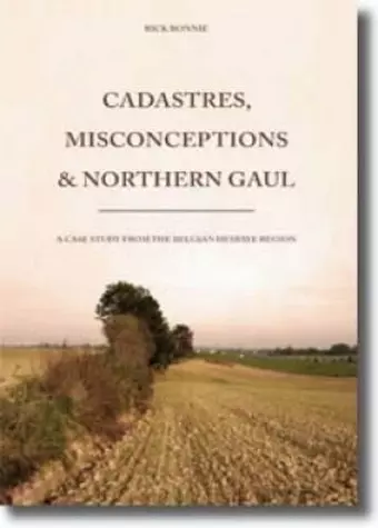
Cadastres, Misconceptions and Northern Gaul
Format:Paperback
Publisher:Sidestone Press
Published:1st Dec '09
Currently unavailable, and unfortunately no date known when it will be back

A Roman cadastre is a particular form of land allotment which looks like a chequerboard. It was implemented by the Romans in regions throughout the Empire, from Syria to Gaul. Yet, how did a Roman cadastre exactly look like? What has Roman cadastration in common with centuriatio and parcellation, and what not? Are aerial photographs and maps a reliable source to reveal traces of a Roman cadastre? Did Roman cadastres exist outside the Mediterranean region, and if so, what are the consequences of its existence on a socio-cultural level? Behind these apparently straightforward questions are for most scholars simple definitive answers. On the basis of these answers scholars have regarded the archaeological study of Roman cadastres often as optimistic, biased and even unscientific.
In Cadastres, Misconceptions and Northern Gaul Rick Bonnie argues that during the Middle-Roman period a cadastre was implemented by the Romans around the provincial Roman city of Tongres. In contrast to general beliefs, Bonnie demonstrates that it is possible, using aerial photographs and maps, to reconstruct a landscape outside the Mediterranean region that was overlain by a Roman cadastre. It furthermore discusses and examines the history of research, historical and archaeological sources on Roman cadastres, as well as the Roman period of the Belgian Hesbaye region.
Rick Bonnie studied Classical Archaeology at Leiden University (MA cum laude 2008). His thesis was awarded the W. A. van Es-prize by the Dutch Institute for Cultural Heritage and was nominated for the Leiden University thesis prize 2007-2008.
ISBN: 9789088900242
Dimensions: unknown
Weight: unknown
169 pages