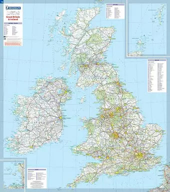
Great Britain & Ireland - Michelin rolled & tubed wall map Encapsulated
Wall Map
Format:Sheet map, rolled
Publisher:Michelin Editions des Voyages
Published:6th Apr '04
Should be back in stock very soon

This Great Britain and Ireland wall map will give an overview of British and Irish cities, administrative boundaries, as well as primary and secondary road networks at a glance. This map is presented on a scale 1/1,000,000 and measures 100 x 88 cm. Our maps are regularly updated even if the ISBN does not change. (Edition updated in 2015)
ISBN: 9782067106529
Dimensions: 250mm x 113mm x 5mm
Weight: 118g
1 pages
2015