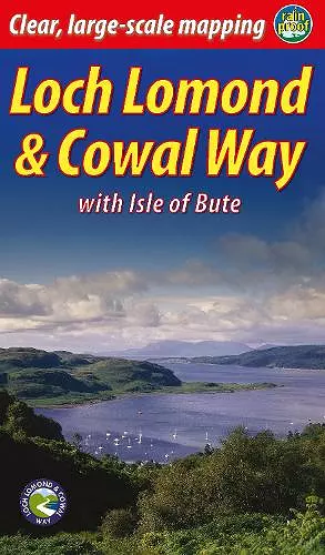
Loch Lomond & Cowal Way (2 ed)
with Isle of Bute
Format:Paperback
Publisher:Rucksack Readers
Published:1st Mar '24
Should be back in stock very soon

"Lavishly illustrated guidebook with route map plus practical information" - Scots Magazine
The Loch Lomond & Cowal Way is one of Scotland's Great Trails. It runs for 57 miles (91 km) across the Cowal peninsula, which lies west of Glasgow and is easily reached by public transport, road and ferry. The route starts at Portavadie on Loch Fyne and ends at Inveruglas on Loch Lomond.
The trail is waymarked and undulating, with rugged terrain and glorious views over the Isle of Bute and the Firth of Clyde. The area is rich in history and heritage, with wildlife sightings including red squirrel, red deer and golden eagle.
Cowal has ferries to Bute, to Kintyre and (in season) across Loch Lomond to join the West Highland Way. It’s the missing link that enables Scotland’s ultimate long-distance walk, from Kintyre all the way to Inverness.
In 2018 the route’s name was extended to Loch Lomond & Cowal Way to reflect the fact that over 50% of it runs within the Loch Lomond & Trossachs National Park. This new edition updates the guidebook of that name and contains many new photographs.
A lavishly illustrated guidebook which includes a route map plus practical information for the walker.
-- Scots Magazine, page 8The guide is well researched and clearly written, with lots of information presented concisely … as well as clear, bullet-pointed directions for each day’s stage of the journey. The maps are eminently useful too: large scale and inserted at the relevant stages of the trip.
Well illustrated throughout, with photos that are a good mix of informative and inspirational.
-- Neil Reid * Scottish Mountaineer, Spring 20ISBN: 9781913817176
Dimensions: 220mm x 130mm x 7mm
Weight: 180g
72 pages
Revised in 2024