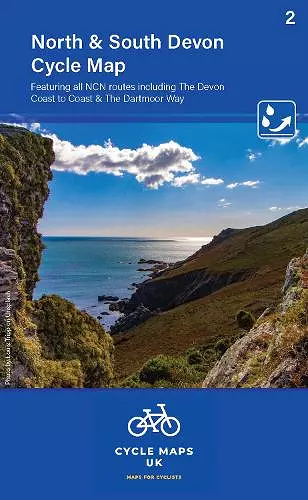
North and South Devon Cycle Map 2
Including the Devon Coast to coast and The Dartmoor Way
Format:Sheet map, folded
Publisher:Cordee
Published:1st Sep '23
Should be back in stock very soon

This cycle map features a 1:100,000 scale, highlighting the National Cycle Network and various routes. It includes essential facilities, terrain relief shading, and is made from tear and water-resistant paper. North and South Devon Cycle Map 2 is designed for exploring and linking rides.
"North and South Devon Cycle Map 2" is a comprehensive guide designed for cycling enthusiasts exploring the scenic landscapes of Devon. The maps are meticulously produced at a scale of 1:100,000, highlighting essential features such as the National Cycle Network. Different sections of the routes, including road, off-road, and traffic-free paths, are color-coded and marked with their respective route numbers, making navigation straightforward for cyclists of all levels.
This cycle map is the first in a new series that aims to cover the entire country, providing a valuable resource for both local riders and visitors. In addition to the cycling routes, the map includes various other roads and their classifications, allowing users to connect rides or venture into new areas. The inclusion of facilities such as toilets, pubs, accommodations, bike shops, repair stations, and railway stations enhances the overall cycling experience, ensuring that riders are well-equipped for their journeys.
The map features relief shading, which offers a clear depiction of the terrain, helping cyclists anticipate the steepness of hills they may encounter. With a folded size of 163mm x 105mm and an unfolded size of 650mm x 800mm, it is conveniently portable. Made from tear and water-resistant paper and printed on both sides, this cycle map is designed to withstand the rigors of outdoor use, making it an essential companion for anyone looking to explore the beautiful cycling routes of North and South Devon.
ISBN: 9781904207771
Dimensions: unknown
Weight: unknown
2 pages