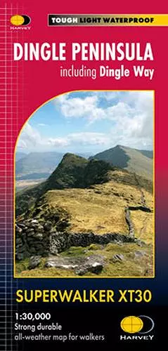
Dingle Peninsula Superwalker XT30
including Dingle Way
Format:Sheet map, folded
Publisher:Harvey Map Services Ltd
Published:21st Sep '23
Should be back in stock very soon

- Includes the whole of the Dingle Way long distance trail
- Placenames in English and Gaeilge / Gaelic
- Archaeological sites and walls and fences in farmland are clearly marked
- The Superwalker XT30 is based on original HARVEY mapping with all the detail a walker would expect on a map at 1:30,000 scale
- Uncluttered by information that is irrelevant to the walker and less than half the weight of a laminated map
- Includes an inset map of the Blasket Islands at 1:50,000 scale
- Core paths are shown
- Shows pubs and cafes for the end of the day
- Printed on strong, durable and 100% waterproof paper
ISBN: 9781851376704
Dimensions: unknown
Weight: unknown
1 pages