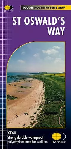
St Oswald's Way
Format:Sheet map, folded
Publisher:Harvey Map Services Ltd
Published:2nd Jun '23
Should be back in stock very soon

This is a complete map of the St Oswald's Way long distance path that shows the entire route on 1 sheet. St Oswald's Way is 97 miles long and it starts at Holy Island and finishes at Heavenfield. The St Oswald's Way goes through the Northumbria National Park, along the Northumberland Coast and passes through lots of beautiful countryside. The map includes logistical information for walking the St Oswald's Way, including accommodation options, shops and refreshments. Directions to the start of the route are included plus enlargements of the local towns and villages showing what facilities are available.
ISBN: 9781851376698
Dimensions: unknown
Weight: 48g