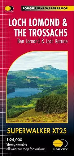
Loch Lomond & The Trossachs XT25
Ben Lomond & Loch Katrine
Format:Sheet map, folded
Publisher:Harvey Map Services Ltd
Published:24th Nov '21
Should be back in stock very soon

Detailed Superwalker map for walkers of Loch Lomond & the Trossachs National Park at 1:25,000 scale. Includes Scotland's most southerly Munro, Ben Lomond and an inset map for access to Ben Vorlich from Loch Earn. Ideal for The Great Trossachs Forest, Loch Katrine, Ben Ledi & Queen Elizabeth Forest Park. Includes 7 Munros, 7 Corbetts and 6 Grahams. Tough, light, durable and 100% waterproof Genuine, original, HARVEY mapping Opens directly to either side of the sheet Easy to re-fold
ISBN: 9781851376445
Dimensions: unknown
Weight: unknown
1 pages