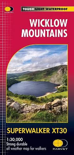
Wicklow Mountains
Format:Sheet map, folded
Publisher:Harvey Map Services Ltd
Published:6th Aug '18
Should be back in stock very soon

HARVEY Superwalker Wicklow Mountains map at 1:30,000 scale. Clear, easy to use, waterproof. GPS compatible. Includes the spectacular Glendalough area and sections of St Kevin's Way, and the Wicklow Way which crosses these mountains. The National Park boundary is shown. Supplied in a clear plastic pocket. Flat size: 486 x 696mm
ISBN: 9781851376131
Dimensions: unknown
Weight: 38g
1 pages