Yorkshire Dales South East
Format:Sheet map, folded
Publisher:Harvey Map Services Ltd
Published:26th Feb '16
Should be back in stock very soon
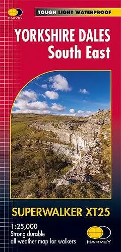
The Yorkshire Dales National Park on just 4 sheets. Yorkshire Dales South East: The coverage of this map includes Pen-y-Ghent, Malham Cove, Wharfedale and Nidderdale. Genuine original HARVEY mapping at 1:25,000. Clear, easy to read, easy to re-fold. Opens directly to either side of the sheet, Slim and flexible, light to carry, Tearproof, durable AND 100% waterproof as standard - no need for a map case.
ISBN: 9781851375646
Dimensions: unknown
Weight: 62g
1 pages