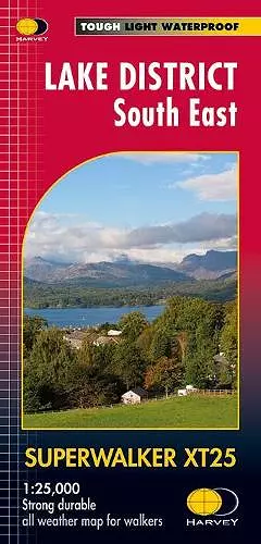
Lake District South East
A comprehensive guide to the Lake District's southeastern region
Format:Sheet map, folded
Publisher:Harvey Map Services Ltd
Published:23rd Feb '15
Should be back in stock very soon

This detailed map covers the Lake District South East, featuring waterproof, tearproof, and easy-to-read HARVEY mapping for outdoor enthusiasts.
The Lake District South East map offers a comprehensive guide to one of the UK's most picturesque regions. This revised and redesigned edition features genuine HARVEY mapping at a scale of 1:25,000, ensuring that every detail is clear and easy to read. Whether you're navigating the trails around Kendal, Windermere, Ambleside, or the stunning Grizedale Forest, this map is designed to enhance your outdoor experience.
One of the standout features of the Lake District South East is its user-friendly design. The map opens directly to either side of the sheet, making it simple to find your way without fumbling. Its slim and flexible nature makes it lightweight and easy to carry, which is essential for long hikes. Additionally, the map is tearproof, durable, and 100% waterproof, eliminating the need for a separate map case and ensuring that it can withstand the elements.
Perfect for both seasoned hikers and casual walkers, the Lake District South East map is an essential tool for anyone looking to explore this beautiful area. With detailed coverage of key locations, including Coniston Water, it provides all the information you need to make the most of your outdoor adventures in the Lake District.
ISBN: 9781851375486
Dimensions: unknown
Weight: 64g
1 pages