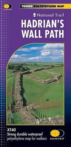
Hadrian's Wall
Harvey Map Services Ltd author
Format:Sheet map, folded
Publisher:Harvey Map Services Ltd
Published:30th Aug '19
Should be back in stock very soon

Entire route on one map
Hadrian’s Wall Path is a National Trail and runs 130km (81 miles) from the Solway Coast to Newcastle.
The sites of Roman remains are marked on the map, with an enlargement of Housesteads.
Tough, light, durable and 100% waterproof
Includes Rights of Way
Route clearly marked
ISBN: 9781851374380
Dimensions: unknown
Weight: 30g
1 pages