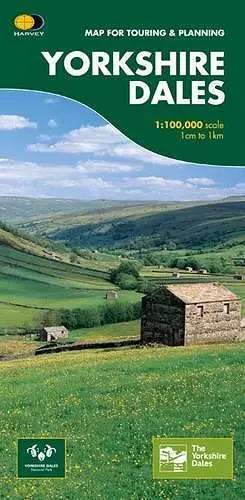
Yorkshire Dales
Map for Touring and Planning
Format:Sheet map, folded
Publisher:Harvey Map Services Ltd
Published:30th Jun '07
Should be back in stock very soon

This map provides a colourful overview of the Dales - famous Swaledale, Wensleydale, Wharfedale & Nidderdale. Colour shading makes it easy to pick out the hills & dales. Driveable roads are shown & steep hills marked. There is an introduction to each area, street plans of towns & lots of information on places to visit.
ISBN: 9781851374335
Dimensions: unknown
Weight: unknown
1 pages
2nd Revised edition