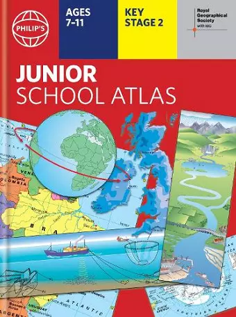
Philip's RGS Junior School Atlas
12th edition HB
Format:Hardback
Publisher:Octopus Publishing Group
Published:5th Sep '24
Should be back in stock very soon
This atlas is a vital educational tool for primary school students, featuring updated maps and thematic content. The Philip's RGS Junior School Atlas is perfect for enhancing geographical knowledge.
The Philip's RGS Junior School Atlas serves as an essential resource for primary school pupils, meticulously revised and updated for its 12th edition. This atlas is designed to meet the latest curriculum requirements while providing clear and easy-to-follow maps and diagrams. With a publication date set for 2024/2025, it is tailored for Key Stage 2 students, making it an excellent introduction to mapping concepts such as scale, direction, symbols, longitude, and latitude.
The atlas features a comprehensive 22-page section dedicated to Britain and Ireland, offering thematic charts, diagrams, and large-scale regional maps. This section covers a variety of topics, including mountains, rivers, climate, population, and transport. Furthermore, the atlas includes a 22-page section on the world, which presents political maps and thematic explorations of significant issues like volcanoes, earthquakes, and tourism.
In addition to its detailed maps, the Philip's RGS Junior School Atlas includes an easy-to-follow map reference system and a 1,000-place index, ensuring users can quickly locate information. The introductory section explains the basics of map reading, including how to measure distances and interpret symbols. With both hardback and paperback editions available, this atlas is a valuable tool for young learners eager to explore the world around them.
Excellent up to date atlas, I teach children from KS2 to GCSE & these are perfect. Very clear with lots of useful information included. * Amazon customer review *
ISBN: 9781849076883
Dimensions: 304mm x 228mm x 12mm
Weight: 580g
64 pages