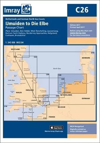
Imray Chart
Ijmuiden to Die Elbe
Format:Sheet map
Publisher:Imray, Laurie, Norie & Wilson Ltd
Published:7th Apr '17
Currently unavailable, our supplier has not provided us a restock date

Plans included:IJmuiden (1:35 000)Den Helder (1:21 000)West-Terschelling (1:20 000)Lauwersoog (1:15 000)Borkum Yacht Harbour (1:25 000)Norderney Approaches (1:66 000)Helgoland (1:25 000)Cuxhaven (1:12 500)Brunsbuttel (1:12 500)On this 2017 edition the latest depth surveys have been applied, as has the latest information regarding wind farms and nature reserves. The chart specification has been improved to show coloured light flashes. There has been general updating throughout.
ISBN: 9781846238741
Dimensions: 295mm x 210mm x 3mm
Weight: 6g
1 pages
New edition