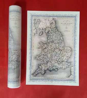
Railway Map of England and Wales 1852 - Old Map Supplied Rolled in a Clear Two Part Presentation Tube - Print Size 45cm x 32cm
Mapseeker Archive Publishing illustrator
Format:Sheet map, rolled
Publisher:Historical Images Ltd
Published:1st Jan '10
Should be back in stock very soon

This non-fiction sheet map, rolled, "Railway Map of England and Wales 1852 - Old Map Supplied Rolled in a Clear Two Part Presentation Tube - Print Size 45cm x 32cm" from Mapseeker Archive Publishing, was published 1st January 2010 by Historical Images Ltd.
ISBN: 9781844913206
Dimensions: unknown
Weight: unknown