Imray Chart G16
Western Pelopónnisos
Format:Sheet map, folded
Publisher:Imray, Laurie, Norie & Wilson Ltd
Published:4th Jan '24
Should be back in stock very soon
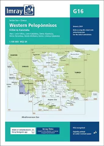
Plans included: Limín Killinis (1:12 500) Limín Katakólou (1:20 000) Órmos Kiparissias (1:7500) Órmos Navarínou (1:30 000) Stenón Methónis (1:20 000) Liménas Kalamatás (1:12 500) Imray-Tetra charts for the Ionian and Aegean are widely acknowledged as the best available for the cruising sailor. They combine the latest official survey data with first-hand information gathered by Rod and Lucinda Heikell. The chart is designed to be used alongside Imray pilot guides of the area. Like all Imray charts, they are printed on water resistant Pretex paper for durability, and they include many anchorages, facilities and inlets not included on official charts.
ISBN: 9781786795519
Dimensions: unknown
Weight: unknown
1 pages