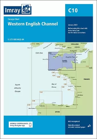
Imray Chart C10
Western English Channel Passage Chart
Format:Sheet map, folded
Publisher:Imray, Laurie, Norie & Wilson Ltd
Published:24th Feb '23
Should be back in stock very soon

This updated navigational tool provides essential coverage for the English Channel, ideal for small craft and effective passage planning.
The Imray Chart C10 has been meticulously redesigned to work in conjunction with the C12 Eastern English Channel Passage Chart. This collaboration ensures that both charts provide seamless coverage of the English Channel at a consistent scale of 1:375,000. The comprehensive coverage offered by this chart facilitates effective passage planning in the Western English Channel, encompassing routes from the Isles of Scilly to the Isle of Wight and from Ile d'Ouessant to Cherbourg.
This updated chart includes the latest official data from the UK Hydrographic Office (UKHO), ensuring that mariners have access to the most accurate and relevant information. Additionally, it incorporates valuable insights and details sourced from Imray's extensive network, making it particularly suitable for small craft navigating these waters. The thoughtful integration of this information enhances the chart's usability and reliability.
In summary, the Imray Chart C10 has undergone a thorough revision, making it an essential tool for anyone planning to navigate the Western English Channel. With its combination of official data and supplementary information, this chart stands out as a trusted resource for safe and efficient maritime travel in the region.
ISBN: 9781786794611
Dimensions: unknown
Weight: unknown
1 pages
New edition