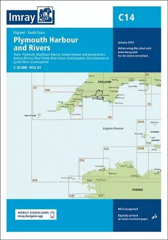
Imray Chart C14
Plymouth Harbour and Rivers
Format:Sheet map, folded
Publisher:Imray, Laurie, Norie & Wilson Ltd
Published:21st Jan '22
Should be back in stock very soon

This edition features updated official data and additional insights from Imray's network, making it suitable for small craft. It includes recent bathymetric surveys and various detailed navigation plans.
Imray Chart C14 offers a comprehensive resource for small craft enthusiasts, combining the latest official data with additional insights from Imray's extensive network. This edition is particularly valuable for navigators seeking reliable information for their journeys. It incorporates the most recent official bathymetric surveys, ensuring that users have access to accurate and current details about the waterways.
The chart features several meticulously detailed plans, which are essential for safe navigation. Notable inclusions are the plans for Plymouth at a scale of 1:12,500, as well as Mayflower Marina and Sutton Harbour, both presented at a scale of 1:4,500. These detailed representations allow mariners to familiarize themselves with key locations and make informed decisions while on the water.
Additionally, the chart covers the River Yealm at a scale of 1:12,500, along with the continuation of the Saint Germans or Lynher River and the River Tamar, both at a scale of 1:20,000. The general updates throughout the edition enhance its usability, making it a trusted companion for both seasoned sailors and those new to navigating these waters. Overall, Imray Chart C14 stands out as an indispensable tool for anyone venturing into these maritime areas.
ISBN: 9781786793522
Dimensions: unknown
Weight: unknown
1 pages
New edition