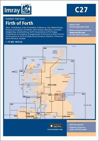
Imray Chart C27
Firth of Forth
Format:Paperback
Publisher:Imray, Laurie, Norie & Wilson Ltd
Published:6th Nov '18
Should be back in stock very soon

This updated edition of Imray Chart C27 offers improved specifications, accurate depths, and additional tidal stream data for safer navigation.
The 2018 edition of Imray Chart C27 features significant enhancements in its chart specifications, including the introduction of colored light flashes for improved navigational clarity. The depths represented on the chart have been updated based on the latest available surveys, ensuring that mariners have access to the most accurate information possible. Additionally, new tidal stream data has been incorporated, providing a more comprehensive view of the maritime environment.
This edition covers a range of locations, including St Andrews, Crail, Anstruther, and St Monans, all with detailed scales of 1:7500. Other areas such as Elie, Methil Docks, and Inchkeith are included at various scales, ensuring that both recreational and professional sailors can navigate these waters effectively. The meticulous updates throughout the chart reflect a commitment to safety and precision in navigation.
Imray Chart C27 is an essential tool for anyone navigating the waters around North Queensferry, Port Edgar, and beyond. With its user-friendly layout and detailed information, this chart is designed to enhance the sailing experience. Whether you are a seasoned sailor or a novice, the updated features and comprehensive data will help you plan your journeys with confidence and ease.
ISBN: 9781786790590
Dimensions: unknown
Weight: unknown
1 pages
New edition