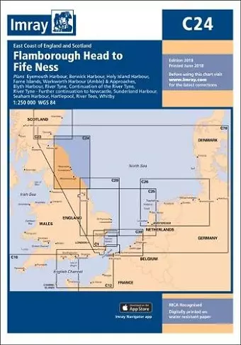
Imray Chart C24
Flamborough Head to Fife Ness
Format:Sheet map, folded
Publisher:Imray, Laurie, Norie & Wilson Ltd
Published:1st Jun '18
Should be back in stock very soon

This nautical chart offers detailed navigation for various UK harbors and waterways, including Eyemouth and the River Tyne, ensuring safe passage.
The Imray Chart C24 provides detailed nautical charts for several key harbors and waterways in the UK, including Eyemouth Harbour, Berwick Harbour, and the River Tyne. Each chart is meticulously crafted at various scales to ensure that mariners have the most accurate and useful information at their fingertips. The inclusion of colored light flashes on this 2018 edition enhances visibility and aids navigation, making it a valuable resource for both seasoned sailors and newcomers alike.
In addition to the primary harbors, the Imray Chart C24 covers the Farne Islands, Warkworth Harbour, and Sunderland Harbour, among others. The charts not only depict the geographical features but also provide critical navigational details that are essential for safe passage. The River Tees and Whitby are also included, ensuring comprehensive coverage of the area.
This edition has undergone significant updates, ensuring that all information is current and relevant for today’s maritime activities. Whether you are planning a leisurely sail or a more serious voyage, the Imray Chart C24 is designed to meet your navigational needs with precision and clarity.
ISBN: 9781786790248
Dimensions: 295mm x 210mm x 3mm
Weight: 14g
1 pages
New edition