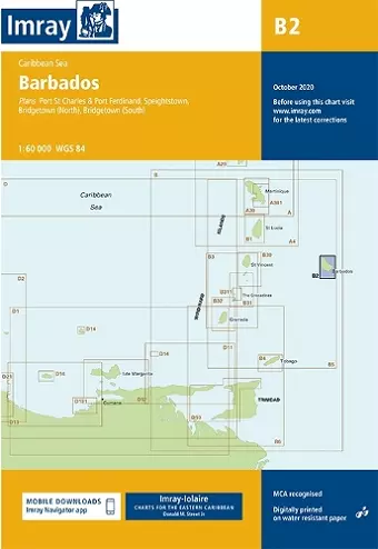
Imray Chart B2
Barbados
Imray, Laurie, Norie, Wilson Ltd author
Format:Sheet map, folded
Publisher:Imray, Laurie, Norie & Wilson Ltd
Published:1st May '18
Should be back in stock very soon

Caribbean Sea Plans included: Port St Charles & Port Ferdinand (sketch plan) Speightstown (1:15 000) Bridgetown (North) (1:20 000) Bridgetown (South) (1:20 000) On this 2018 edition port development at Bridgetown is included. The plan of Port St Charles has been reschemed to include Port Ferdinand. The chart specification has been improved to show coloured light flashes. There has been general updating throughout.
ISBN: 9781786790187
Dimensions: 295mm x 210mm x 3mm
Weight: 140g
1 pages
New edition