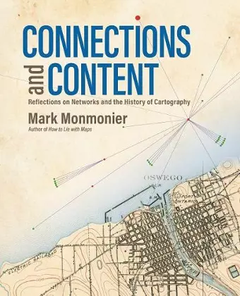
Connections and Content
Reflections on Networks and the History of Cartography
Format:Paperback
Publisher:ESRI Press
Published:7th Nov '19
Currently unavailable, and unfortunately no date known when it will be back

Behind every great map is a network and behind every great network is a map.
In Connections and Content: Reflections on Networks and the History of Cartography, cartographic cogitator Mark Monmonier shares his insights about the relationships between networks and maps. Using historical maps, he explores:
- Triangulation networks that established the baselines to set a map’s scale
- Astronomical observations, ellipsoids, geodetic arcs, telegraph networks, and GPS constellations that put latitude and longitude on the map
- Cartographic symbols that portray a diverse range of network features
- Survey networks used to situate and construct canals, railways, roads, and power lines
- Postal and electronic networks that created and disseminated weather maps, and
- Topological networks that underlie modern census enumeration and satellite navigation systems.
Connecting the past to the present via maps and reflection, Monmonier continues his contribution to cartographic scholarship by exploring the network's power as a unifying concept for understanding and using maps.
"As geospatial technologies diffuse through society, accessible works should be available to interested citizens. This is one: it links familiar aspects of the world with their depiction on maps in a compelling way and provides insights into the mapmaker’s art."
--Stewart Walker, Photogrammetric Engineering & Remote Sensing, Vol. 86
* Photogrammetric Engineering & Remote Sensing *"If one is interested in the evolution of cartography and the geospatial sciences, Connections and Content: Reflections on Networks and the History of Cartography is an ideal place to begin. Mark Monmonier has spent a lifetime studying maps, the systems and technologies for making them, and the social, economic and defence purposes for producing them. As such he has valuable insights concerning the history, present use and potential future use of cartographical products. In this work he provides many of these insights within a framework of myriad details and pertinent graphics and illustrations."
--Albert Theberge, Imago Mundi, Vol. 72
* Imago MunISBN: 9781589485594
Dimensions: unknown
Weight: unknown
290 pages