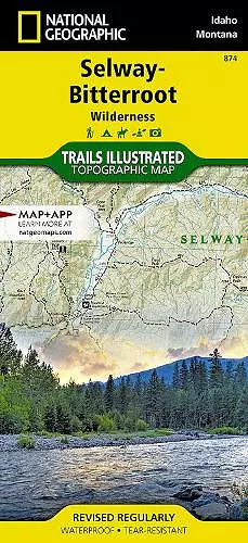
Selway-Bitteroot Wilderness Map
National Geographic Maps author
Format:Sheet map, folded
Publisher:National Geographic Maps
Published:30th May '23
£14.95
Supplier delay - available to order, but may take longer than usual.

Waterproof Tear-Resistant Topographic Map. National Geographic's Trails Illustrated map of the Selway-Bitterroot Wilderness stretches from Missoula, MT in the north, to the northern edge of the Frank Church-River of No Return Wilderness in the south. The map includes both non-motorized and motorized trails, snowmobile routes, Idahos Game Management Units, backcountry facilities and landing strips, lookout towers, whitewater access sites, river camps, and milemarkers along major rivers. Large sections of the Idaho Centennial Trail and Lewis and Clark Trail run through the center of the map. With hundreds of miles of both back-country and front-country trails the Selway-Bitterroot Wilderness map has something for every level of user. The entire wilderness is crisscrossed by trails, some of them are many days from the nearest road, perfect for a multiday wilderness adventure. Trailheads are clearly shown to plan a perfect day hike as well. Every Trails Illustrated map is printed on "Backcountry Tough" waterproof, tear-resistant paper. A full UTM grid is printed on the map to aid with GPS navigation. Every map purchase helps support the National Geographic Society, an impact driven, nonprofit organization with global reach that uses the power of science, exploration, education, and storytelling to illuminate and protect the wonder of our world. Other features found on this map include: Bitterroot National Forest, Bitterroot Range, Bitterroot River, Blackfoot River, Blacktail Butte, Blodgett Mountain, Blue Joint Wilderness Study Area, Clearwater Mountains, Clearwater National Forest, Elk City, Goat Heaven Peaks, Indian Henry Ridge, Lake Como, Lee Metcalf National Wildlife Refuge, Lochsa River, Lolo National Forest, Lolo Pass, Lolo Peak, Magruder Corridor Road, Painted Rocks Lake, Pot Mountain, Saint Joseph Peak, Saint Patrick Peak, Selway River, Trapper Peak.
ISBN: 9781566958318
Dimensions: unknown
Weight: unknown
2 pages
2024th ed.