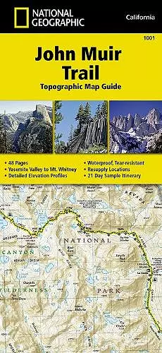
John Muir Trail (topographic Map Guide)
National Geographic California
National Geographic Maps author
Format:Sheet map, folded
Publisher:National Geographic Maps
Published:26th Sep '14
Should be back in stock very soon

The John Muir Trail (topographic Map Guide) serves as an essential companion for hikers traversing one of America's most iconic trails. This comprehensive guide begins at the northern terminus in Yosemite Valley, guiding adventurers along the stunning ridge of the Sierra Nevada. As you follow the path, the journey unfolds through breathtaking landscapes, including the renowned Devils Postpile, culminating at the majestic summit of Mount Whitney, the highest peak in the contiguous United States.
Throughout the trek, hikers will experience the diverse beauty of several national parks and wilderness areas. The John Muir Trail (topographic Map Guide) covers the remarkable terrains of Yosemite National Park, the serene Ansel Adams Wilderness, and the unique features of Devils Postpile National Monument. Additionally, it showcases the natural wonders within the John Muir Wilderness, Kings Canyon National Park, and the towering Sequoia National Park, making it an invaluable resource for outdoor enthusiasts.
With detailed topographic maps and essential information, this guide not only aids navigation but also enriches the hiking experience. Whether you are a seasoned backpacker or a novice adventurer, the John Muir Trail (topographic Map Guide) provides insights and tips to ensure a memorable journey through some of California's most stunning landscapes.
ISBN: 9781566956895
Dimensions: unknown
Weight: 94g
1 pages
2024th ed.