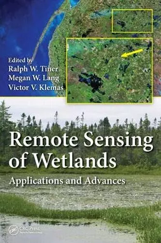
Remote Sensing of Wetlands
Applications and Advances
Ralph W Tiner editor Megan W Lang editor Victor V Klemas editor
Format:Hardback
Publisher:Taylor & Francis Inc
Published:23rd Mar '15
Currently unavailable, our supplier has not provided us a restock date

Effectively Manage Wetland Resources Using the Best Available Remote Sensing Techniques
Utilizing top scientists in the wetland classification and mapping field, Remote Sensing of Wetlands: Applications and Advances covers the rapidly changing landscape of wetlands and describes the latest advances in remote sensing that have taken place over the past 30 years for use in mapping wetlands. Factoring in the impact of climate change, as well as a growing demand on wetlands for agriculture, aquaculture, forestry, and development, this text considers the challenges that wetlands pose for remote sensing and provides a thorough introduction on the use of remotely sensed data for wetland detection. Taking advantage of the experiences of more than 50 contributing authors, the book describes a variety of techniques for mapping and classifying wetlands in a multitude of environments ranging from tropical to arctic wetlands including coral reefs and submerged aquatic vegetation. The authors discuss the advantages and disadvantages of using different remote sensing techniques for wetland detection under varied conditions and circumstances. They also analyze commonly available data, reveal cost-effective methods, and offer useful insights into future trends.
Comprised of 25 chapters, this text:
- Presents methods readily applicable to real-world challenges
- Contains advanced, new techniques communicated by top scientists in the field
- Covers a diverse set of landscapes and technologies
- Reviews many of the datasets and techniques that are responsible for advances in this discipline and their application for wetland mapping
- Addresses the need to effectively manage this environmental resource
Remote Sensing of Wetlands: Applications and Advances uses a variety of contributors, touching on pertinent topics, to help you gain a greater understanding of the latest technologies, strengths, and limitations surrounding this emerging field.
"… an important reference for operational wetlands mappers. Over the years, I have been told you should be using this technology instead of the one we were using at the time. A book like this would have provided an overview of the technology and more importantly the names of the experts."
—Bill O. Wilen, PhD, USFWS, National Wetlands Inventory
[this book] encompasses information essential to anyone engaged in either identifying and/or understanding wetlands using remote imagery. It brings together in one place a critical examination of the strengths and shortcomings of the many types of imagery available today. It explores the opportunity to combine various types of remote imagery to describe and analyze wetlands. It includes extensive case studies of the application of remote sensing imagery by wetland type."
—Jeanne Christie, Association of State Wetland Managers
"Remote Sensing of Wetlands – Applications and Advances is a very suitable primer for the person new to this domain, but should be required as a definitive cornerstone for the development of academic programs dealing with wetland mapping. The depth and breadth of coverage achieved by the editors make this volume indispensable and essential to any scholarly effort aimed at applying remote sensing to the mapping, study, understanding and preservation of these complex, valuable and endangered ecosystems."
—Photogrammetric Engineering & Remote Sensing, December 2016
ISBN: 9781482237351
Dimensions: unknown
Weight: 1230g
576 pages