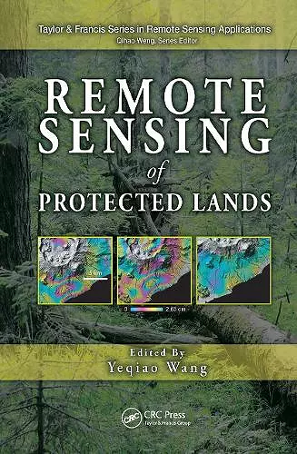
Remote Sensing of Protected Lands
Format:Hardback
Publisher:Taylor & Francis Inc
Published:21st Nov '11
Currently unavailable, our supplier has not provided us a restock date
This hardback is available in another edition too:
- Paperback£65.99(9780367382124)

National parks, wildlife refuges and sanctuaries, natural reserves, conservation areas, frontier lands, and marine-protected areas are increasingly recognized as essential providers of ecosystem services and biological resources. As debates about climate change and sustainability intensify, protected areas become more important as indicators of ecosystem conditions in particular environments or in comparison with adjacent environments.
The first book of its kind, Remote Sensing of Protected Lands showcases state-of-the-art remote sensing applications for the inventory and monitoring of protected areas. Contributions from renowned scholars and experts from around the world are organized into four sections covering the use of remote sensing in:
- Changing landscapes and change detection
- Inventory, mapping, and conservation
- Inventory and monitoring of frontier lands
- Decision support for the management of protected lands
A View of Both the Forest and the Trees
Combining reviews of theories and methods with analysis of case studies, the book gives readers both a systematic view of the field and detailed knowledge of specific topics. Case studies explore key topics in the context of a wide range of protected areas, including national parks in the United States and Canada, the Albertine Rift in eastern Africa, the Amazon forests, the Changbai Mountain region in Northeast Asia, the frontier lands in Siberia and the Tibetan Plateau, and marine protected areas along the tropical and temperate Pacific and Atlantic coasts.
Alongside each case study, the book examines advanced remote sensing technologies such as airborne and spaceborne high spatial resolution imageries, multispectral and multitemporal time series data, satellite interferometric synthetic aperture radar (InSAR), and the integration of r
"Contributed by a group of leading and well-published scholars in the field, this book is the first to dedicate to the applications of remote sensing science and technology for inventory, monitoring, and managing of protected lands and waters. Professor Wang carefully selected and examined each contribution, and created a well-structured volume to address the use of remote sensing technology in protected lands from four perspectives, namely, changing landscape and change detection; monitoring and mapping methods; inventory and monitoring of frontier lands, and decision support for management of protected lands. This comprehensive approach allows readers to have both a systematic view of the field and a detailed knowledge of a particular topic, seeing both 'forest' and 'trees.'" -From the Series Foreword by Series Editor Qihao Weng, PhD, Hawthorn Woods, Indiana "All the chapters are well written and several contain new research results. If you read only one chapter from this book. read Chapter 21, Monitoring and Modeling Environmental Change in Protected Areas. This chapter successfully demonstrates all four areas of emphasis of the book and does an outstanding job of describing the need to develop spatially explicit models to enable governments to make science-based decisions for protected lands." -Photogrammetric Engineering and Remote Sensing, April 2013
ISBN: 9781439841877
Dimensions: unknown
Weight: 1340g
636 pages