The Medieval Peutinger Map
Imperial Roman Revival in a German Empire
Format:Hardback
Publisher:Cambridge University Press
Published:29th Aug '14
Currently unavailable, and unfortunately no date known when it will be back

This book challenges the Peutinger Map's self-presentation as a Roman map by examining its medieval contexts.
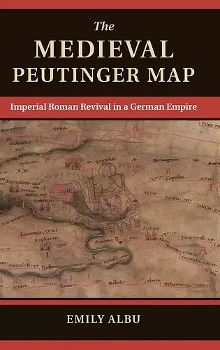
The Peutinger Map remains the sole medieval survivor of an imperial world-mapping tradition. This book challenges the artifact's self-presentation as a Roman map by examining its medieval contexts of crusade, imperial ambitions, and competition between the German-Roman Empire and the papacy.The Peutinger Map remains the sole medieval survivor of an imperial world-mapping tradition. It depicts most of the inhabited world as it was known to the ancients, from Britain's southern coastline to the farthest reaches of Alexander's conquests in India, showing rivers, lakes, islands, and mountains while also naming regions and the peoples who once claimed the landscape. Onto this panorama, the mapmaker has plotted the ancient Roman road network, with hundreds of images along the route and distances marked from point to point. This book challenges the artifact's self-presentation as a Roman map by examining its medieval contexts of crusade, imperial ambitions, and competition between the German-Roman Empire and the papacy.
'… the author marshals an impressive body of evidence from classical and medieval primary sources … highly recommended.' R. T. Ingoglia, Choice
'This is an original and important book.' Bryn Mawr Classical Review
'The Medieval Peutinger Map sets an impressive standard for all future studies of the map and demonstrates the extent of expertise required to do the subject justice.' Scott Fitzgerald Johnson, Imango Mundi
ISBN: 9781107059429
Dimensions: 236mm x 159mm x 17mm
Weight: 500g
194 pages