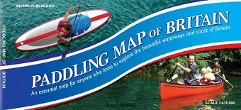
Paddling Map of Britain - Third Edition 2022
Format:Sheet map
Publisher:Rivers Publishing UK
Published:13th Jul '22
Should be back in stock very soon

This map of mainland Britain that shows the huge extent of paddling possibilities on rivers, lochs, canals and coast - some 37,000km of paddling! Enthusiasts buy this map to plan and dream, whilst for the newcomer to the sport it answers that question "where can I go paddling? It is colour coded to clearly show the nature of these waterways. Southern England and Wales is on one side of the large B1 sheet - Scotland and the North of England on the reverse. The base is provided by a map of Britain at 1:625,000 (ten miles to the inch) that shows roads, towns, villages, rivers, streams and lakes with this detail in pastel colours. Brighter colours show some 540 rivers graded by difficulty - also canals and waterways used by motorized craft. Popular paddling trips are highlighted, as are white water centres. The map also shows locations for selected loch and coastal trips. Information panels give guidance, recommended websites and guidebooks - all designed to 'open the doors' to the world of paddling - for canoes, kayaks and SUPs.
ISBN: 9780995751347
Dimensions: unknown
Weight: unknown