Historic Town Plans of Lincoln, 1610-1920
D R Mills editor R C Wheeler editor
Format:Hardback
Publisher:Boydell & Brewer Ltd
Published:14th Dec '04
Currently unavailable, and unfortunately no date known when it will be back
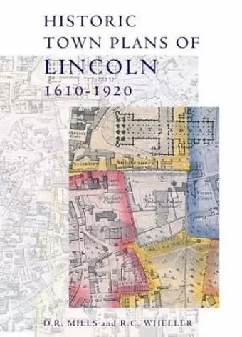
This book collects together early maps of Lincoln, and demonstrates their importance in describing the changing geography of this historic city, and also the development of cartography and its increasing application of scientifictechniques for improved accuracy and precision. Speed published the earliest surviving map of the area in 1610; his work was followed in 1722 by that of William Stukeley, whose map concentrates on historical features. The nineteenth century saw Lincoln mapped a number of times, by William Marrat (1814-17) and shortly afterwards by James Sandby Padley and the Ordnance Survey. It was the electoral reforms of the 1830s that drove the next map-makers to defineward and parish boundaries, the details of which required a larger scale than previous works. Then in 1842 Padley published his remarkable Large Map of Lincoln. The collection ends with the OS map of 1920, a detailed record of the city scaled at six inches to the mile, where modern Lincoln is clearly visible.
The chief glory of this book is the section which reproduces thirteen plans of the city in high-quality colour. [.] A useful resource for the academic scholar and anyone with an interest in the history of the city. * EAST MIDLAND HISTORIAN *
A delight.. The maps are superbly produced and, like any old map, deserve close study with a magnifying glass. [Lincoln] Record Society is to be congratulated on publishing such a fine volume. * ARCHIVES *
This collection provides the reader with all the detailed information of the city in the nineteenth century that can possibly be mapped. It provides a model which other county record societies might well follow. * THE LOCAL HISTORIAN *
ISBN: 9780901503695
Dimensions: unknown
Weight: 892g
128 pages