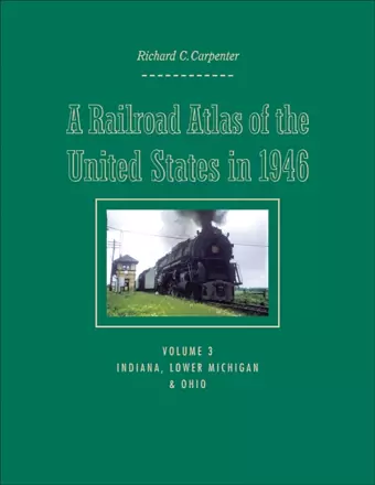
A Railroad Atlas of the United States in 1946
Volume 3: Indiana, Lower Michigan, and Ohio
Format:Hardback
Publisher:Johns Hopkins University Press
Published:13th Jan '09
Currently unavailable, and unfortunately no date known when it will be back

Volume 3 shows the details of some of the most complex RR terminals in the USA, such as Chicago, Detroit, Cincinnati, Cleveland, Columbus, etc. In recent years, all of those layouts have been greatly reduced, due to mergers and changes in types of traffic. So the 1946 Atlas will be a suitable 'monument to what once was'-at the peak of railroad passenger and local freight activity! -- Richard B. Hasselman, Senior Vice President of Operations, CONRAIL (retired) 2008
Carpenter depicts the major rail centers of Indianapolis, Gary, Detroit, Toledo, Cleveland, and Chicago, as well as every town and rail junction from Mackinaw City, Michigan, to Tell City, Indiana.A Railroad Atlas of the United States in 1946 recalls an era when steam locomotives were still king and passenger trains stopped at nearly every town in America. Railroad companies employed over a million workers, on the trains and along the tracks. Everything moved by rail: travelers, mail, and freight-whether a massive electric generator or a child's bicycle. Richard C. Carpenter's hand-drawn color maps recapture the precise details: the various trunk and ancillary railroad passenger lines that served thousands of towns; long-since demolished steam locomotive and manual signal tower installations; towns that functioned solely as places where crews changed over; track pans; coaling stations; tunnels; bridges and viaducts; and other rail-specific sites. The third and largest volume in this acclaimed series includes 276 maps and drawings and focuses on Indiana, Lower Michigan, and Ohio. These states could be called the crossroads of the national railroad network, where east-west transcontinental lines crossed north-south inter-regional lines. Carpenter depicts the major rail centers of Indianapolis, Gary, Detroit, Toledo, Cleveland, and Chicago, as well as every town and rail junction from Mackinaw City, Michigan, to Tell City, Indiana.
An incredible wealth of information... a fine addition to library collections that support interests in railroading, transportation issues, post-World War II history, or the midwest region. American Reference Books Annual 2009 Superb series... As in Carpenter's previous editions on the Mid-Atlantic states and New England, the detail in his hand-drawn, exhaustively researched maps is astonishing... This atlas and its companions are excellent snapshots of railroading's 'classic era.' -- Ronald S. McGonigal Classic Trains 2009 A winning reference. Midwest Book Review 2009 Mr. Carpenter's labor of love appeals to railroad professionals, railroad enthusiasts, sociologists, historians, local historians, cartographers, and collectors of unusual maps. The book belongs on your reference shelf. There's nothing else quite like it. -- John Baesch The Portolan 2009 This atlas is a gem, and certainly should be considred for your bookshelf. -- Robert D. Brubaker Keystone 2010
ISBN: 9780801890024
Dimensions: 279mm x 216mm x 27mm
Weight: 1588g
360 pages