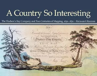
A Country So Interesting
The Hudson's Bay Company and Two Centuries of Mapping, 1670-1870
Format:Paperback
Publisher:McGill-Queen's University Press
Published:30th Jun '11
Currently unavailable, our supplier has not provided us a restock date

This comprehensive study explores North America's largest collection of manuscript charts and maps related to the fur trade, detailing the contributions of over 160 Company servants and 50 Indigenous artists.
In A Country So Interesting, Richard Ruggles presents an in-depth examination of the extensive collection of manuscript charts and maps associated with the fur trade in North America. This work stands out as the first comprehensive study of its kind, focusing on the contributions of over 160 individuals, including Company servants and surveyors, as well as more than 50 Indigenous and Inuit artists who created sketches and original designs. Ruggles meticulously analyzes the mapping activities that played a crucial role in the development of trade routes and territorial understanding during this pivotal period.
The book features annotated catalogues of all known maps produced by the Hudson's Bay Company, shedding light on the significance of these documents in the context of historical geography. Ruggles’ research highlights the collaborative efforts between European traders and Indigenous peoples, emphasizing the importance of their contributions to the mapping process. This collaboration not only enriched the cartographic record but also fostered a deeper understanding of the diverse landscapes and cultures involved in the fur trade.
Additionally, A Country So Interesting includes sixty-six reproductions of key maps and sketches, allowing readers to visually engage with this important historical material. Through Ruggles' detailed analysis and presentation, the book offers invaluable insights into the complexities of the fur trade and the intricate relationships that shaped North America's geographical narrative. This work is an essential resource for anyone interested in the history of exploration, cartography, and Indigenous contributions to North American heritage.
"A substantial contribution to the history of Canadian cartography." Graeme Wynn, BC Studies "An indispensable reference and aid to all who are interested in fur trade history and the history of Canadian cartography." Graham A. MacDonald, Manitoba History "The atlas is handsome enough to be a coffee table book, with the added bonus of combining a great deal of content and insightful analysis with a highly readable style." David Hornbeck, The Public Historian
ISBN: 9780773538856
Dimensions: unknown
Weight: unknown
320 pages