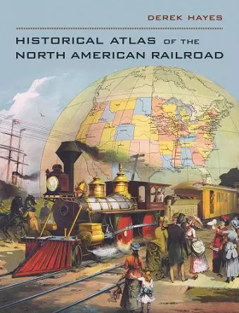
Historical Atlas of the North American Railroad
Format:Hardback
Publisher:University of California Press
Published:10th Sep '10
Currently unavailable, and unfortunately no date known when it will be back

America's long romance with the train has been the subject of many books, but none has used contemporary maps to comprehensively illustrate the story. Until now. Here the latest of Derek Hayes' historical atlases delves into the history of the railroad in North America, from its origins in Britain in the 1820s and short lines connecting Eastern Seaboard rivers in the 1830s to Amtrak and the modern intermodal freights driving today's railroad revival. Colorful and informative, the book covers a vast range of topics and offers an impressive array of types of railroad map, from the purely utilitarian to the gorgeously promotional. Nearly 400 old railroad maps, most in full color, plus many historical photos, brochures, and posters, combine to provide a new perspective on the North American railroad. "Historical Atlas of the North American Railroad" also explains how the railroad transformed the economic and social life of a continent, fundamentally changing the two North American nations it linked from the Atlantic to the Pacific.
"Sumptuously spilling over with period maps, posters, and images as well as impeccable historical data. Steel-wheels heads of all gauges will find it enlightening and entertaining." American History "Consider this another spectacular atlas from accomplished geographer Hayes... [His] latest atlas is a delight." Library Journal "This atlas serves as a fascinating reference and is also just plain fun to browse through." -- J.W. Classic Trains "Impressive... Lavishly illustrated, beautifully bound, and richly textured, this volume stunningly reproduces the visual culture of the railroad." -- William G. Thomas, University of Nebraska-Lincoln Great Plains Research
ISBN: 9780520266162
Dimensions: 305mm x 241mm x 25mm
Weight: 1633g
224 pages