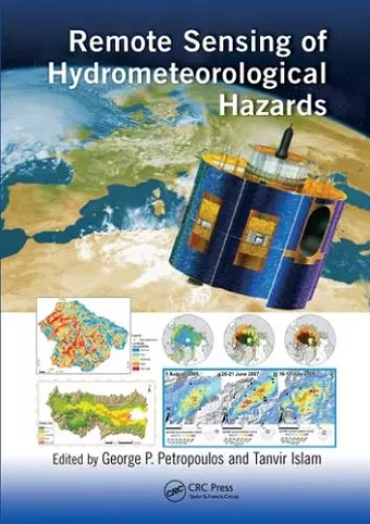
Remote Sensing of Hydrometeorological Hazards
Tanvir Islam editor George P Petropoulos editor
Format:Paperback
Publisher:Taylor & Francis Ltd
Published:30th Jun '20
Currently unavailable, and unfortunately no date known when it will be back
This paperback is available in another edition too:
- Hardback£195.00(9781498777582)

Extreme weather and climate change aggravate the frequency and magnitude of disasters. Facing atypical and more severe events, existing early warning and response systems become inadequate both in scale and scope. Earth Observation (EO) provides today information at global, regional and even basin scales related to agrometeorological hazards. This book focuses on drought, flood, frost, landslides, and storms/cyclones and covers different applications of EO data used from prediction to mapping damages as well as recovery for each category. It explains the added value of EO technology in comparison with conventional techniques applied today through many case studies.
"Remote Sensing of Hydrometeorological Hazards contains comprehensive reviews and case studies of the application of remote sensing for hazards assessment, including drought, frost and ice, wildfire, floods, hurricanes, and landslides. As a thorough review of the state-of-the-art in a wide range of applications, written by respected experts in the field, the book will be a useful reference for individuals involved with both research and application."
— Trent Biggs, San Diego State University, California, USA
"This book addresses all of the major hazardous events that can significantly affect human lives, the natural resources we depend upon, and the way we grow our food. The newly developed methods described here, employing the recent advances of technology and availability of Earth Observation data, provide information of higher quality and quantity, usable by the authorities as well as individuals. It is a much-needed review of Earth Observation methods and possibilities, recording the current level of remote sensing services available and a great asset for new scientists."
—Chariton Kalaitzidis, Mediterranean Agronomic Institute of Chania, Crete, Greece
"… a great contribution to the field remote sensing and hydrometeorological hazards. In my opinion, reading this very interesting book, which has six sections covering both theory and novel applications of remote sensing and GIS, is a must for everyone in the field of geosciences. What makes this book very interesting and special is that it represents decades of research conducted by leading scientists in the field. This book provides readers an all-inclusive critical overview about Remote Sensing of Drought, Frost and Sea Ice Hazards, Wildfires, Flood, Hurricanes and Landslides. I recommend this highly respected book for students, researchers, lecturers, decision makers and practitioners who would like to learn and update effectively their knowledge from top scientists."
—Salim Lamine, University Akli Mohand Oulhadj of Bouira, Algeria
"This book provides a full up-to-date overview of extreme events and disasters such as Drought, Frost & Sea Ice Hazards, Wildfires, Flood, Hurricanes and Landslides. It is a reliable guide and provides cutting-edge materials for disaster management and mitigation in an accessible manner. This is a detailed and thorough treatment of the complex approaches in a simplified way. Attention is given to the evolution of theory, to the scales and patterns of the disasters and to the optimum management strategies to combat and predict disasters occurring in nature by using the state of the art remote sensing, geospatial techniques and Earth observation dataset. This is a carefully structured and balanced book for researchers working in the field of natural hazards and disasters."
— Prashant K Srivastava, Banaras Hindu University, India
ISBN: 9780367572730
Dimensions: unknown
Weight: 453g
550 pages