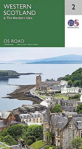
Western Scotland & the Western Isles
Comprehensive maps for exploring Scotland's western regions
Format:Sheet map, folded
Publisher:Ordnance Survey
Published:27th Jan '20
Should be back in stock very soon

This guide offers detailed maps for navigating Western Scotland & the Western Isles, featuring routes, tourist sites, and essential travel information.
The Western Scotland & the Western Isles guide provides comprehensive coverage through a series of detailed, single-sided folded maps. Designed for travelers and adventurers alike, these maps offer a 1:250,000 scale, making navigation straightforward and efficient. They include all major motorways, primary routes, and A roads, ensuring that users can plan their journeys with confidence. Each map is packed with essential tourist information, highlighting key locations such as National Parks, Country Parks, and World Heritage sites.
In addition to the extensive road network, the Western Scotland & the Western Isles maps feature a useful gazetteer of towns and cities, making it easy for users to locate points of interest along their route. This resource is not just about getting from point A to point B; it encourages exploration of the rich landscapes and attractions that Western Scotland and its islands have to offer. Whether you're seeking breathtaking scenery or cultural experiences, the maps serve as an invaluable tool.
With eight maps included in the series, covering areas from Northern Scotland to the South East of England, this collection is versatile and comprehensive. Each map is tailored to provide a unique perspective of the region, ensuring that every journey is both enjoyable and memorable. The Western Scotland & the Western Isles is an essential companion for anyone looking to explore this beautiful part of the UK.
ISBN: 9780319263747
Dimensions: unknown
Weight: unknown