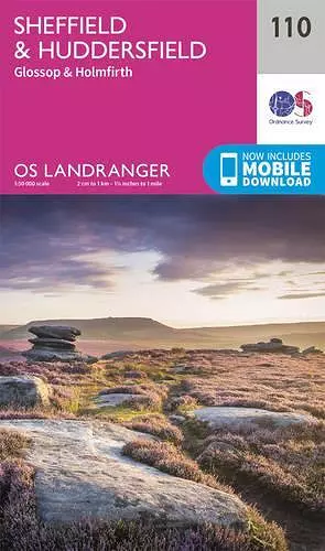
Sheffield & Huddersfield, Glossop & Holmfirth
Format:Sheet map, folded
Publisher:Ordnance Survey
Published:24th Feb '16
Should be back in stock very soon

This guide features detailed maps of Sheffield, Huddersfield, Glossop, and Holmfirth, offering essential information for exploring the area, including points of interest, tourist details, and access rights for England and Wales.
The Sheffield & Huddersfield, Glossop & Holmfirth map from the OS Landranger Map series offers a comprehensive guide to exploring this vibrant region of Great Britain. With a total of 204 detailed maps in the series, this particular map is ideal for those planning day trips or short breaks. It serves as a valuable resource for both locals and visitors, providing essential information to help users navigate and appreciate the area.
Each map in the series is designed to enhance your understanding of the local landscape. The Sheffield & Huddersfield map highlights various points of interest, including popular tourist attractions and notable landmarks. It also features picnic areas and campsites, making it easier for outdoor enthusiasts to plan their adventures. Additionally, the map includes Rights of Way information for England and Wales, ensuring that walkers and hikers can enjoy the scenic trails responsibly.
In a modern twist, the OS Landranger series has adapted to technology by offering a digital version of the paper map, accessible through the OS Maps smartphone app. This integration allows users to explore the area with greater convenience and flexibility, ensuring that they have all the necessary information at their fingertips. Whether you're a seasoned traveler or simply looking to discover new places, the Sheffield & Huddersfield, Glossop & Holmfirth map is an essential companion for your journeys in this picturesque part of Great Britain.
ISBN: 9780319262085
Dimensions: unknown
Weight: unknown
February 2016 ed