Mapping the Nation – History and Cartography in Nineteenth–Century America
Format:Paperback
Publisher:The University of Chicago Press
Published:18th Oct '13
Currently unavailable, and unfortunately no date known when it will be back

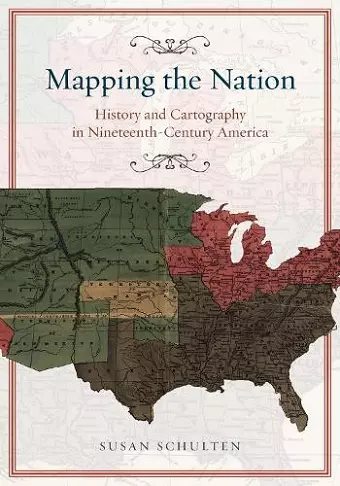
Mapping the Nation – History and Cartography in Nineteenth-Century America by Susan Schulten explores the innovative ways in which Americans utilized maps during the 19th century. This period marked a significant transformation in cartography, as various professionals began employing maps for analytical purposes. Medical practitioners mapped diseases to gain insights into epidemics, while natural scientists charted climate patterns to better understand weather phenomena. Additionally, Northern states created maps related to slavery to evaluate the South's power dynamics. These thematic maps emerged as powerful tools for analysis, revealing the potential of cartography beyond mere representation.
Following the Civil War, the use of statistical and thematic mapping became more pronounced, particularly among federal agencies. These maps were instrumental in profiling the diverse characteristics of a reunified nation, including its ethnic, racial, economic, moral, and physical attributes. This shift underscored the evolving role of maps as instruments for social understanding and governance, rather than just geographical depictions.
Schulten's work highlights how this radical change in spatial thought redefined the purpose of maps. They were no longer seen solely as illustrations of data but rather as visual tools capable of conveying complex ideas. This evolution in mapping practices significantly altered the perception of what a map could represent, ultimately transforming the very essence of cartography in America. Through her exploration, Schulten demonstrates how maps became integral to understanding societal dynamics and shaping national identity during a pivotal time in history.
"Powerful.... Satisfying.... Though both the book and the website can stand alone, together they productively bring the careful, intimate, controlled narrative of the book form alongside the full-color, hyperlinked social nature of web-based projects to convincingly argue that America without maps would have been a different kind of place altogether." (Public Books)"
ISBN: 9780226103969
Dimensions: 254mm x 178mm x 15mm
Weight: 484g
264 pages