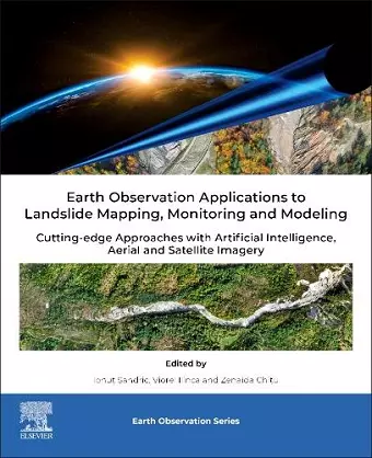
Earth Observation Applications to Landslide Mapping, Monitoring and Modeling
Cutting-edge Approaches with Artificial Intelligence, Aerial and Satellite Imagery
Ionut Sandric editor Viorel Ilinca editor Zenaida Chitu editor
Format:Paperback
Publisher:Elsevier Science Publishing Co Inc
Published:8th Nov '24
Currently unavailable, and unfortunately no date known when it will be back

Earth Observation Applications to Landslide Mapping, Monitoring and Modeling: Cutting-edge Approacheswith Artificial Intelligence, Aerial and Satellite Imagery focuses on the application of drone and satellite imagery for landslide mapping, monitoring, and modeling. The topics covered include the use of ultrahigh spatial resolution imagery acquired by UAVs (Unmanned Aerial Vehicles) for mapping and predicting landslide activity, the use of satellite imagery for monitoring landslide activity, the assimilation of EO (EarthObservation) data into landslide susceptibility and hazard prediction models, and the building of landslide inventories. The primary objective of this book is the advancement of the scientific understanding and application of technologies to address a variety of areas related to landslide mapping and monitoring for robust and sustainable development. Earth Observation Applications to Landslide Mapping, Monitoring and Modeling be useful for PhD students, postdoctoral researchers, professors, and scientists in geoscience.
ISBN: 9780128238684
Dimensions: unknown
Weight: 1000g
400 pages