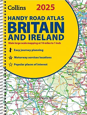
2025 Collins Handy Road Atlas Britain and Ireland
A5 Spiral
Format:Spiral bound
Publisher:HarperCollins Publishers
Published:28th Mar '24
Should be back in stock very soon

This atlas provides detailed maps and useful features for navigating Britain and Ireland, making travel planning straightforward and efficient.
The 2025 Collins Handy Road Atlas Britain and Ireland is a user-friendly resource designed for easy navigation across the UK and Ireland. With its compact A5 size and spiral binding, this atlas is perfect for travelers looking for convenience without sacrificing detail. The clear route planning maps allow for effortless journey planning, fitting snugly into glove compartments or bags for easy access on the go.
Featuring maps of Britain at a scale of 10 miles to 1 inch (1:625,000) and comprehensive coverage of Ireland at 15.8 miles to 1 inch (1:1,000,000), the atlas ensures that users can find their way with confidence. Additionally, urban areas are presented in greater detail, with maps at a scale of 4.5 miles to 1 inch (1:285,000) to facilitate navigation in busy city centers. This thoughtful design makes the atlas an indispensable companion for both everyday travel and special excursions.
Among its many features, the 2025 Collins Handy Road Atlas Britain and Ireland includes updated Park & Ride locations, new rail stations, and tram line extensions in cities like Blackpool and Edinburgh. A handy distance calculator chart helps users quickly assess travel times between major towns. Moreover, the atlas highlights over 30 categories of places of interest, including historical sites, theme parks, and beaches, along with clear indications of Clean Air and Low Emission Zones, making it a comprehensive guide for modern travelers.
ISBN: 9780008652890
Dimensions: 210mm x 154mm x 6mm
Weight: 130g
80 pages